Coffee County, Tennessee, World War 1 Veterans

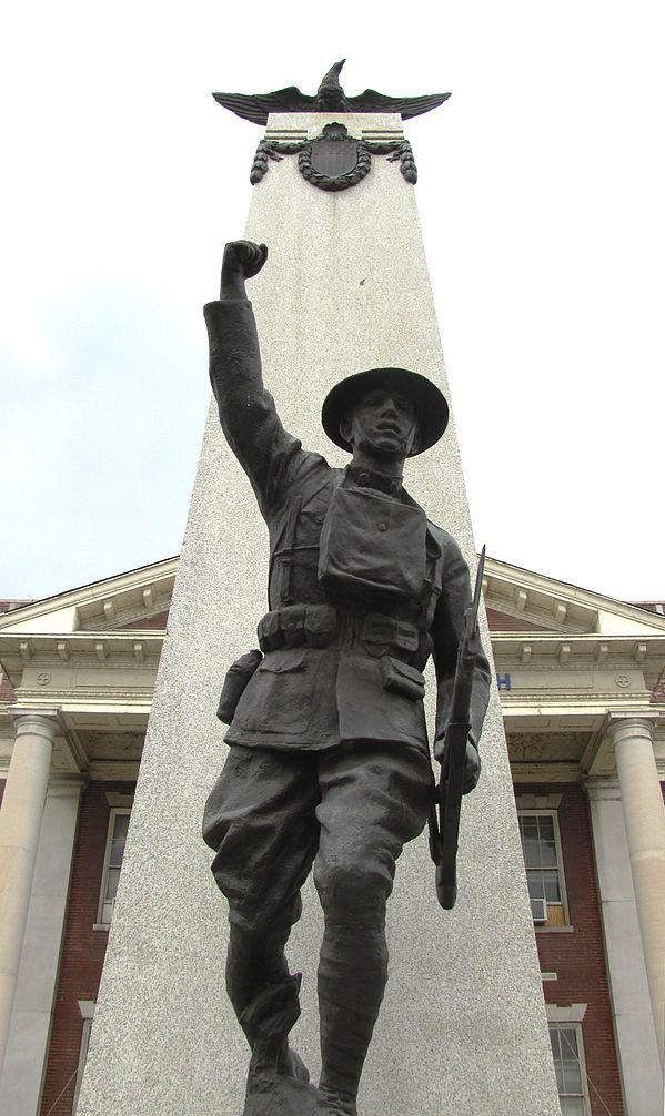
WWI Monument in Knoxville Tennessee

This index lists the 622 Coffee County, Tennessee, World War 1 Veterans. There were 564 soldiers in the Army, 18 of which were officers. There were 42 sailors in the Navy and none were officers. There were 7 Marines in the Marine Corps. There were 9 fraudulent enlistments, discharges, dishonorable discharges, or desertions.

Clay County, Tennessee, World War 1 Veterans

WWI Monument in Knoxville Tennessee

This index lists the 211 Clay County, Tennessee, World War 1 Veterans. There were 205 soldiers in the Army, 1 of which was an officer. There were 4 sailors in the Navy, 1 of which was an officer. There was 1 Marine in the Marine Corps. There was 1 fraudulent enlistment, discharge, dishonorable discharge, or desertion.

Campbell County, Tennessee, World War 1 Veterans

WWI Monument in Knoxville Tennessee

This index lists the 1,088 individuals who served from Campbell County during World War I. There were 1,003 soldiers in the Army, 30 of which were officers. There were 61 sailors in the Navy and none were officers. There were 7 Marines in the Marine Corps. There were 17 fraudulent enlistments, discharges, dishonorable discharges, or desertions.

Moore County, Tennessee Organization

Goodspeed History of Tennessee, 1887

The county of Moore was organized in accordance with an act of the General Assembly of the state of Tennessee, entitled “An act to establish a new county out of portions of the territory of Lincoln, Franklin, Coffee and Bedford Counties, to be called the county of Moore, in honor of the late General William Moore, of Tullahoma, Tennessee, one of the early settlers of Lincoln County, Tennessee, a soldier of the war of 1812, and for many years a member of the General Assembly of the state of Tennessee,” passed December 14, 1871. The act provided that the county … Read more

Moore County, Tennessee Early History

Goodspeed History of Tennessee, 1887

Moore County lies in the south central portion of Tennessee, and is bounded on the north by Bedford, east by Coffee, south by Franklin, and west by Lincoln. It contains about 170 square miles, and its surface is greatly diversified. About one-half the county lies on the Highland Rim, and the remainder of the county lies in the Central Basin. The eastern portion has a high, flat, slightly-rolling surf ace, known as the “barrens,” which breaks off to the south and west into ridges and ravines, some of the latter having a depth of 300 to 400 feet. These ridges … Read more