Blount County Tennessee Chancery Court Records 1850 – 1900s

The government of Blount County, Tennessee has created an index for their Chancery Court records covering the years of 1850-1900s. These records are stored in twenty-nine boxes with an archives copy stored on microfilm. This index is reproduced below in a searchable format. Click here to see their pdf version of this index. Chancery court cases contain records of equity cases, some divorces, estate disputes and other private suits.

Early Blount County Tennessee Forts

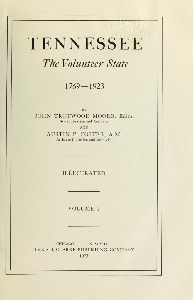
Tennessee The Volunteer State 1769-1923 title page

Blount County was formed in 1795 from Knox County and named for Governor Wm. Blount. Its county seat, Maryville, was named for Mary Grainger Blount, wife of Governor Wm. Blount. The settlement of this county began in 1785 and the early settlers were much harassed by the Indians. Nine places in this county have been deemed worthy of being commemorated by historical markers. These places are as follows: McGaughey’s Fort Although McGaughey’s Fort was in Sevier County (established in 1794), it was on the line of the old Indian War Trail which extended through Blount County, and was a great … Read more

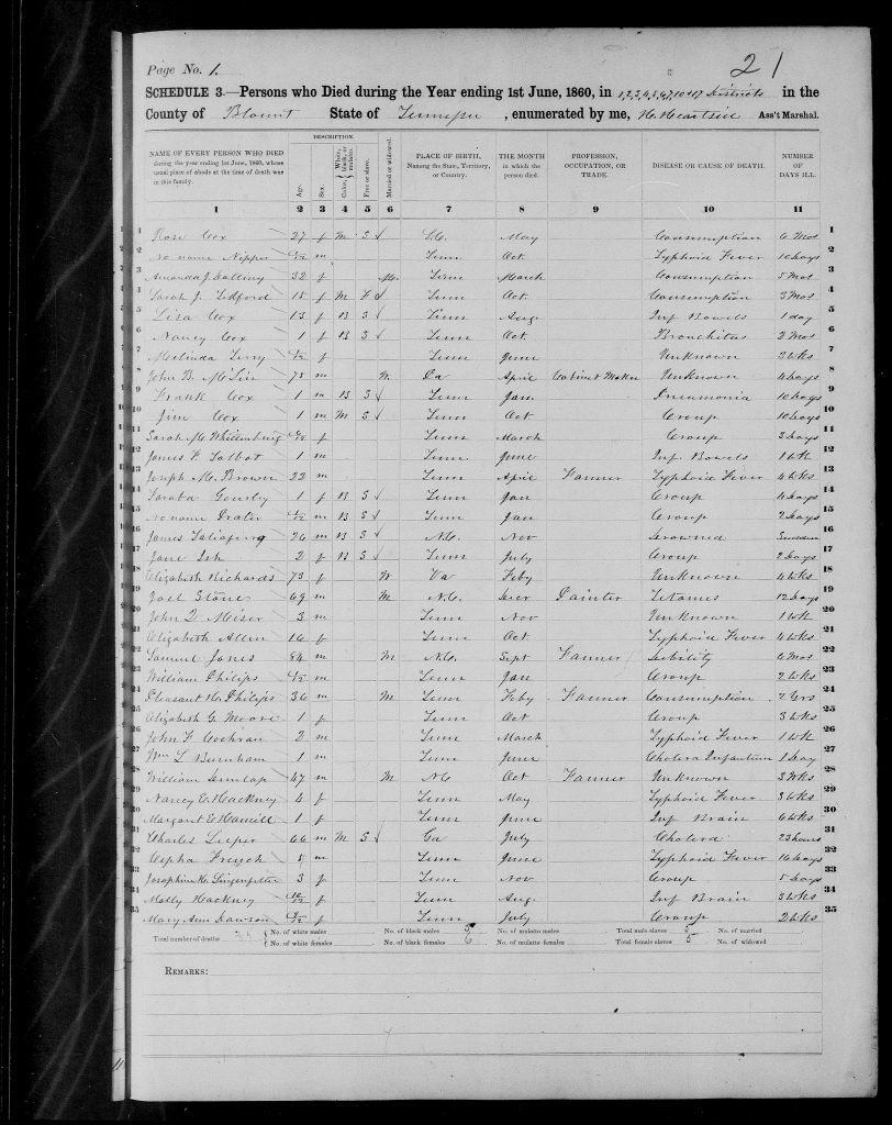
Blount County, Tennessee, 1860 Mortality Schedule

1860 Blount County Mortality Schedule Page 1

Mortality schedules list people who died during the previous 12 months. Mortality schedules were taken along with population schedules during the 1860 census. These schedules include persons who died between June 1st through May 31st in the year prior to the 1860 federal census. The 1860 mortality schedule lists the dead person’s name; age, sex, color (white, black, or mulatto), free or slave, married or widowed; place of birth; month of death; profession, occupation, or trade; cause of death; and number of days ill. Though part of the federal censuses, mortality schedules are separate from the population schedules. The following … Read more

History of Blount County Tennessee

Blount County Tennessee lies between the Tennessee River and the great Smoky Mountain, and south of Knox County. It has an area of about 470 square miles, one-sixth of which is mountain land. It is abundantly supplied with water and water power. The principal stream is Little River, which receives the waters of Crooked Creek, Pistol Creek, Nails Creek and Ellejoy. In the southern and western portions of the county are Abram, Nine Mile, Six Mile, Four Mile, Baker and Boyd Creeks. The mineral resources are abundant. In addition to iron and marble. silver and gold are found in paying … Read more